
Sources for West Haven Neighbors
West Haven has no official block-level resident list. The closest public method joins several narrower records. MapXpress shows the target parcel and directly adjacent lots. The assessment roll names the owner or co-owner and separates the physical, or situs, address from the mailing address. SearchIQS follows an owner into deeds and liens. Regional reverse-address directories can place a listed household at a street number in a particular year. Each source proves something different.
| Source | What It Shows About a Block | Access |
|---|---|---|
| MapXpress GIS | Target and directly adjacent parcels, boundaries, selected layers | Free viewer |
| Assessor roll | Owner, co-owner, parcel ID, situs and mailing data | Free search |
| SearchIQS | Recorded transfers, liens, maps, and named parties | Guest index; images vary |
| Voter records | Registration and district connection allowed by law | State and registrar routes |
| Reverse directories | Listed households on the block in a selected year | Library research |
An owner's mailing address that matches the parcel may support owner occupancy, but it still does not name every person living there. A business, estate, trust, or absentee owner may appear instead. A directory entry is an annual snapshot, not a full household roster. The best account of West Haven neighbors states both the evidence and its limit.
Select Adjacent West Haven Parcels
The West Haven MapXpress GIS viewer provides Select and Parcel Information tools. Search the target address, click its parcel, and then click each lot that directly touches it. Record the parcel ID and situs address before opening another lot. The viewer has no visible radius or buffer tool, so a claim such as "within 500 feet" would be unsupported. Define neighbors as directly adjacent parcels or describe the exact map window used.
MapXpress contains aerial years and voting, fire, flood, zoning, and infrastructure layers. Those layers add civic or geographic context; they do not identify occupants. Property data are updated nightly, while maps update annually, so save the access date and layer date with the result.
The official GIS method anchors a neighbor search to visible parcel lines instead of a guessed block boundary.
- Find the center address and select its parcel.
- Record its parcel ID, situs, and displayed owner.
- Select only parcels that touch it, one at a time.
- Check mailing and situs lines before inferring owner occupancy.
- Move to the West Haven street directory when the whole named street is in scope.
West Haven Neighborhood Geography
The city's Coastal Resilience Plan names Oyster River, Oyster River Point, Ocean Avenue South, Ocean Avenue Beaches, Cove River, Captain Thomas Boulevard, Campbell Avenue, Sandy Point, Old Field Creek, City Center, Spring Street, Allingtown, and Cemetery/Yale Bowl as planning areas. Their descriptions connect shoreline, wetlands, retail corridors, schools, industrial land, fire facilities, cemeteries, and transportation routes.
These are planning neighborhoods, not universal legal boundaries. An Allingtown or City Center label can coexist with a separate voting district, fire-tax district, postal ZIP, and parcel boundary. Record the exact layer or plan when using a neighborhood name.
The West Haven Historical Society's town-history material adds local context to those place names.
Historical context can explain why a block is known by a local name without turning that name into an official resident boundary.
Historical Society Neighborhood Leads
The Historical Society neighborhood page currently exposes only Osborn Avenue and Woody Crest coverage. That is a useful, narrow lead, not a complete directory of West Haven associations or neighborhoods.
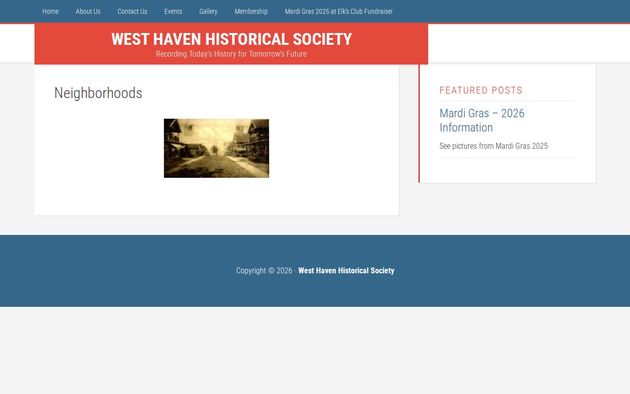
Ask whether the society holds photographs, maps, clippings, or files for the target street. Cite the collection item and date when it supplies a household clue.
The society's research contact route is the practical next step when the website has no name index.
A focused request should include the street, house number, surname variants, and approximate years, rather than asking for every person on a block.
Confirm West Haven Owners and Occupants
After the map defines the nearby lots, open each parcel in the assessor search. Copy the owner as written, including co-owners, and keep the mailing address distinct from the situs. Next, use the owner name in the City Clerk's SearchIQS land index. West Haven's online land index begins July 1, 1968; images begin August 16, 1999, and grantor-grantee books cover 1956 through 1968. A grantor gives or transfers an interest, while a grantee receives it.
- Match parcel ID and situs between the map and assessor result.
- Compare the owner mailing address with the parcel, without calling a match conclusive residence proof.
- Search the named party in SearchIQS and check document type, date, book/page, and image availability.
- Use a reverse directory for a chosen historical year when the question is occupancy.
SearchIQS does not guarantee address searching. Starting with the MapXpress parcel and owner avoids that trap. If an older document does not appear, the portal's generic help suggests removing the town filter because not every instrument was indexed to a municipality.
West Haven Civic District Context
West Haven reports ten voting districts. GIS voting layers and the local redistricting map can place a parcel in civic geography, while the West Haven Registrars provide voter and district routes. A district is not a directory of every person who lives inside it. Public voter-file access is governed by CGS §9-50d and Public Act 26-1, and protected residents may use the Voter Registry Privacy Program or Safe at Home address-confidentiality program.
The West Haven Historical Society landing page connects civic geography with broader community history.
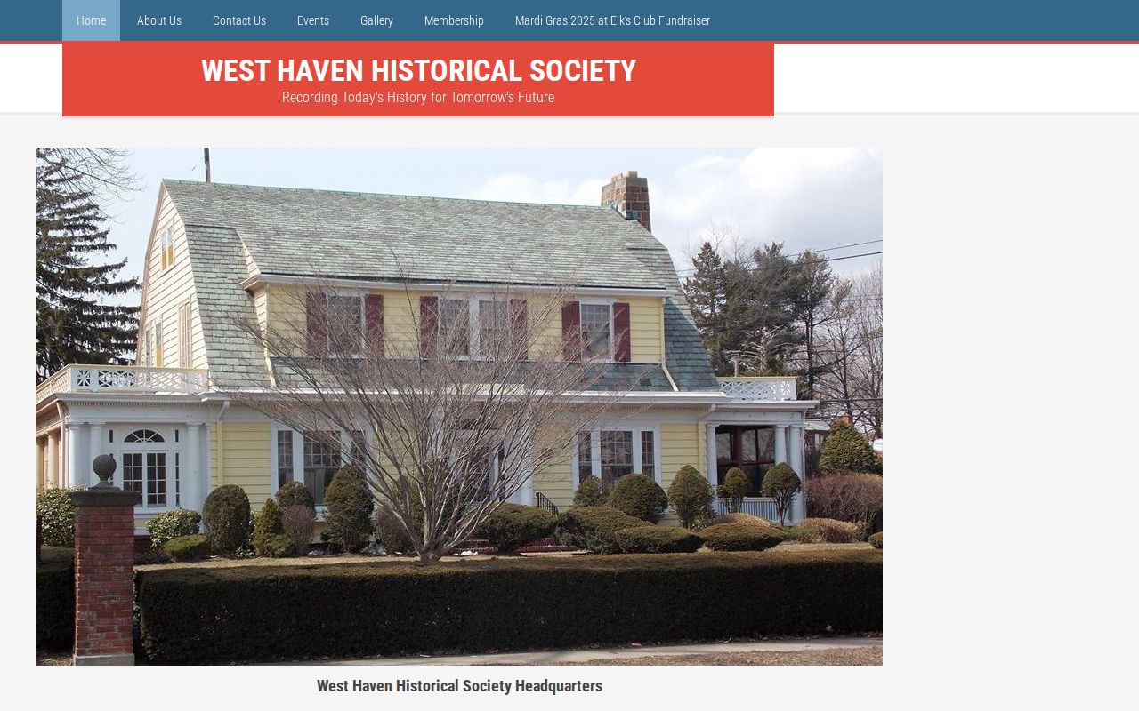
Use civic layers to understand the block's context, then use the proper custodian for any name-based record.
| Boundary | Purpose | What it does not prove |
|---|---|---|
| Parcel | Defines a property lot | Every occupant |
| Voting district | Administers elections | A public household roster |
| Planning area | Groups land for policy work | A legal neighborhood |
| ZIP/ZCTA | Routes mail or reports statistics | City jurisdiction |
Official and Commercial Neighbor Results
Official records identify their custodian, update cycle, field meanings, and legal limits. Commercial neighbor tools may combine purchased data, old directories, and inferred relationships without showing the source date. A polished result can still connect the wrong person to a parcel. Use commercial output, if encountered, only as a lead and confirm every material fact with the city, state, court, or library source that created the record.
| Question | Official source | Commercial result |
|---|---|---|
| Who owns this lot? | Assessor parcel record | May be stale or inferred |
| Which lots touch it? | MapXpress parcel map | Radius may be unexplained |
| Who appeared here before? | Dated directory or deed | Source year may be hidden |
West Haven Neighborhood History Contacts
The research did not locate a complete official roster of neighborhood associations, homeowners groups, block watches, or their members. It did identify three responsible routes for place-based questions. Choose the office or collection that matches the evidence needed, and ask about one street, parcel, plan area, or date range rather than requesting a broad list of people.
| Contact | Best question | Access |
|---|---|---|
| West Haven Historical Society | Maps, photographs, newspapers, clippings, local businesses, and street history | Contact form; Poli House, 686 Savin Avenue; 203-932-0088 |
| West Haven Public Library Reference | Regional directories, genealogy, local collections, and source referrals | Main Library, 300 Elm Street; 203-937-4233 |
| West Haven Registrars | Voting district, polling place, canvass, and public voter-record routes | Official registrar page and office channels |
The Historical Society's web neighborhood coverage currently highlights Osborn Avenue and Woody Crest. That narrow page is not evidence that other West Haven neighborhoods lack history or civic groups. Ask whether uncataloged files cover the target place, then cite the item actually consulted.
Read West Haven Block Layers by Date
MapXpress offers sales layers for grand-list years 2021 through 2025 and aerial choices including 2023, 2019, 2016, 2013 RWA, 2012, and 2008 or 2006 imagery. Other visible groups cover zoning, wetlands, contours, road signs, utility poles, hydrants, sanitary and storm features, critical habitat, coastal management, FEMA mapping, and old or approved voting districts.
These layers can explain the physical and civic setting around West Haven neighbors. An older aerial may show that a lot was vacant, a sales layer may identify a transaction year, and a district layer may place the parcel in an election area. None names all occupants. Record the layer title, displayed year, parcel ID, access date, and map extent before using it as evidence.
The viewer works in Connecticut State Plane NAD 1983 coordinates and includes measurement tools, but no explicit public radius or buffer control was found. A measured map view is still not a complete neighbor roster. Define the selection method in plain language so another researcher can repeat it.
Protect West Haven Neighbors' Privacy
Public parcel ownership does not open private utility, delivery, DMV, or complete household data. Connecticut restricts motor-vehicle information under the federal DPPA and CGS §14-10. Safe at Home and the Voter Registry Privacy Program protect different groups through different procedures. A missing address may reflect a legal protection, a nonoccupant owner, a renter, or simply a record outside the selected source.
Lawful use. Research West Haven neighbors only for lawful personal purposes. Never use an address record to watch, threaten, harass, or harm anyone.