
West Haven ZIP Code Coverage
Official material located for West Haven consistently supports 06516 as the city's current ZIP code. A USPS Postal Bulletin names West Haven with that code, while city pages use it for municipal addresses. That evidence is stronger than a commercial ZIP list. Two other codes, 06524 and 06525, appeared as historical or alias entries pointing toward 06516 in an older bulletin. Current delivery status was not established for either one. Treat them as research leads, not as present-day West Haven ZIP codes.
| ZIP | West Haven connection | Evidence | Use |
|---|---|---|---|
| 06516 | Confirmed city address code | USPS bulletin and city pages | Verify each delivery address with USPS |
| 06524 | Older alias pointing to 06516 | 2018 bulletin entry | Historical clue; current use unverified |
| 06525 | Older alias pointing to 06516 | 2018 bulletin entry | Historical clue; current use unverified |
No reviewed official source proved a separate PO-box-only code, a unique institutional code, or a second current citywide delivery code. Check an individual home or business through the current USPS ZIP Code Lookup before relying on an old directory, saved envelope, or vendor result. This keeps an alias from becoming a false present-day address claim.
Read West Haven ZIP Evidence
The Census Bureau publishes a profile for ZCTA 06516. A ZCTA, or ZIP Code Tabulation Area, is a generalized shape built for statistics. It is not the Postal Service's live delivery map. The distinction matters near city lines and where a mailing name differs from a municipal boundary. Census counts can describe the 06516 statistical area without proving that every address in the shape is legally inside West Haven.
The Census explanation of ZIP and ZCTA data shows why the labels cannot be swapped.
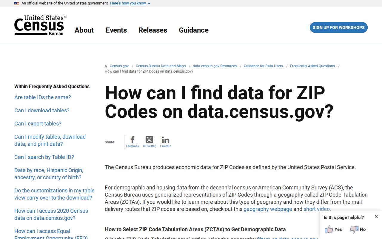
Use a ZCTA for area statistics, then return to USPS or a city parcel record when the question concerns one address.
- Delivery ZIP
- A USPS routing code for mail service at a specific address.
- ZCTA
- A Census statistical approximation assembled from census blocks.
- Situs address
- The physical location recorded for a parcel.
- Mailing address
- Where the owner gets mail, which may be outside West Haven.
Explore West Haven ZCTA 06516
The Census profile for ZCTA 06516 supplies population and household context for a broad statistical area. It can frame family-history research or comparisons over time. It cannot identify residents, certify delivery, or settle whether a parcel lies within the city boundary.
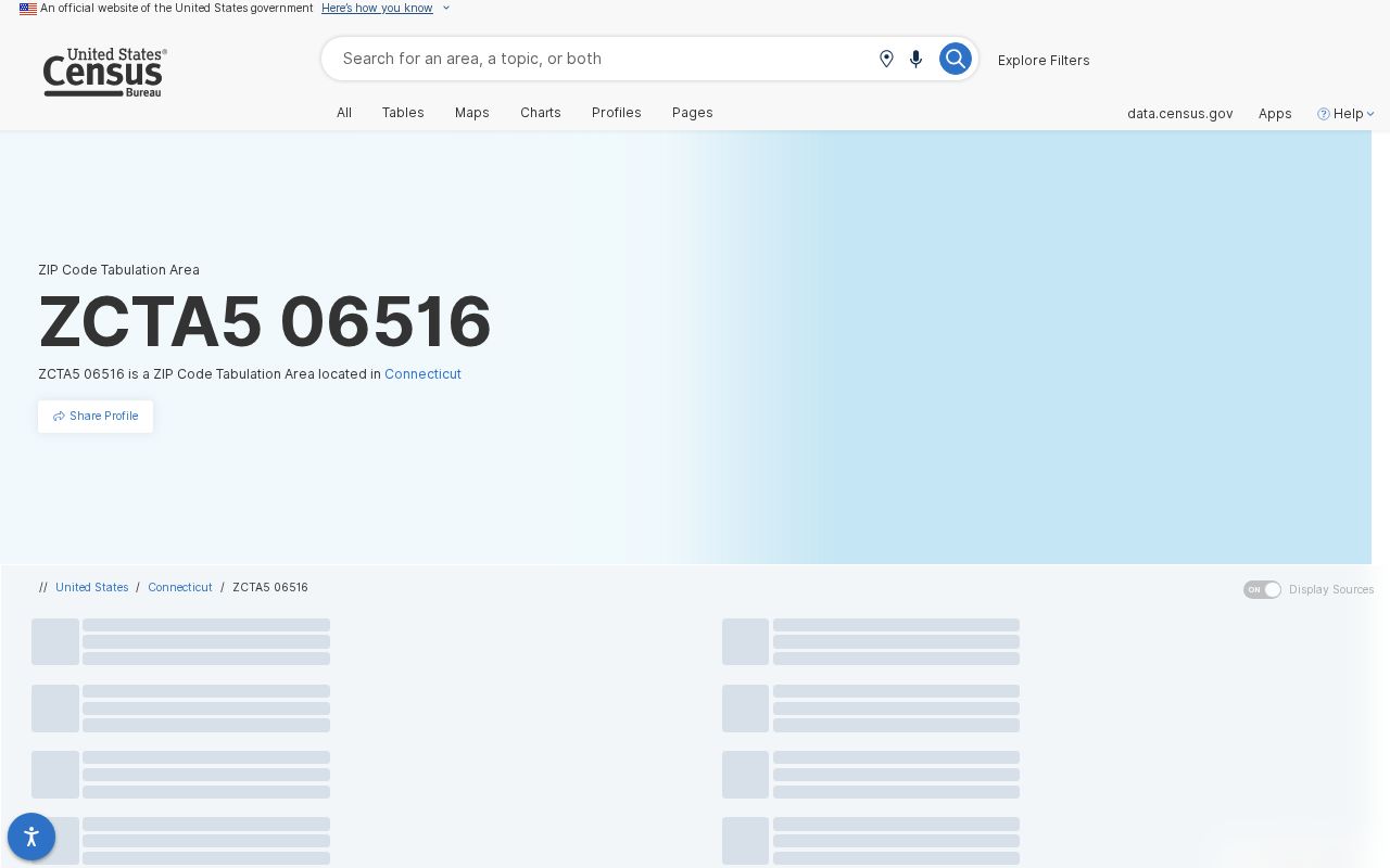
Read the profile beside parcel and municipal records, and preserve the ZCTA label in every citation.
Find West Haven Residents by ZIP
West Haven's public MapXpress property search does not provide a ZIP-wide resident query. It accepts owner or co-owner name, house number, street, and parcel ID. Use 06516 to confirm city context, then add a street or name. The result identifies property ownership, not every person who occupies the address.
- Confirm the full delivery address with USPS when current mailing accuracy matters.
- Search MapXpress by house number and street, or by owner name.
- Copy the parcel ID and situs address. Keep the owner's mailing ZIP separate.
- Use the owner name in SearchIQS for a deed or lien trail. Address search is not guaranteed.
- For past occupants, consult annual and reverse-address directories at regional libraries.
The West Haven street directory continues from a ZIP to a block, parcel, owner, and recorded-document trail. Connecticut voter-file access is separate: the written CSV request costs $300 and carries restrictions under CGS §9-50d and Public Act 26-1. It is not a casual ZIP directory.
Parcel ZIP Fields in West Haven
The West Haven Assessor maintains the assessment roll, and MapXpress displays its public parcel search. Property data update nightly while map information updates annually. A parcel card may show a West Haven situs address and a different mailing city or ZIP for the owner. That is evidence of where tax mail goes, not proof of residence.
Record parcel ID, situs, owner, and mailing lines separately so later searches do not merge unlike facts.
| Parcel field | Meaning | ZIP caution |
|---|---|---|
| Situs | Physical parcel location | Verify municipal boundary |
| Owner mailing | Tax-mail destination | May be another town |
| Parcel ID | Stable local property key | Better than ZIP for joining city records |
| Legal description | Recorded land description | Does not rely on postal geography |
West Haven Limits and ZIP Lines
No reviewed source supplied a complete address table showing where the 06516 delivery area and West Haven's legal boundary differ. Do not draw that line from a Census ZCTA alone. Check city jurisdiction through the parcel viewer, official city maps, voting layers, and the agency that holds the requested record. Postal identity routes mail. Municipal identity determines which assessor, clerk, registrar, or agency keeps a local record.
The West Haven GIS map gallery offers dated zoning, wetlands, contour, FEMA, and other map products.
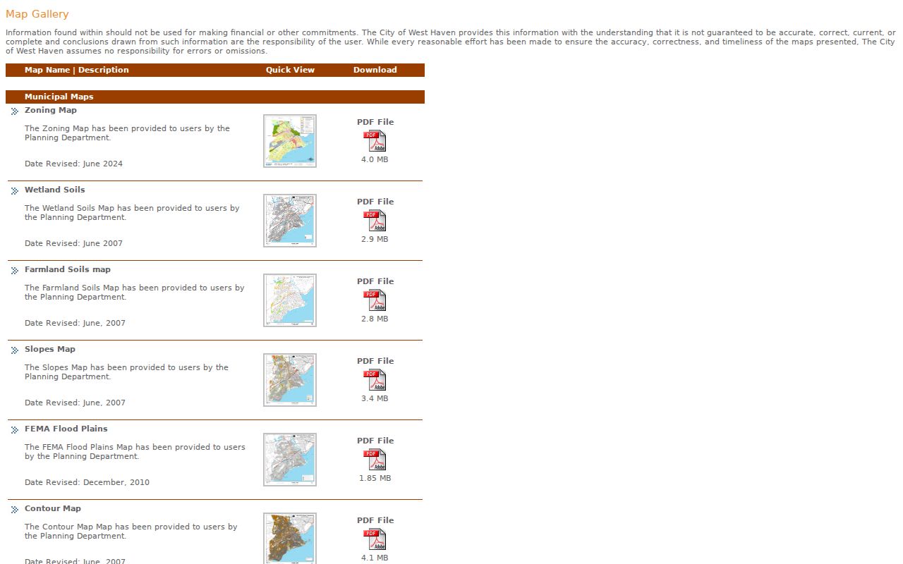
Use the named layer and its date in a citation. A clear map is not automatically a current postal map.
Search West Haven Records After ZIP
Each West Haven record system treats an address differently. MapXpress uses parcel fields. SearchIQS indexes people and instruments, with land-index coverage from July 1, 1968 and images from August 16, 1999; grantor-grantee books cover 1956 through 1968. A grantor is the party transferring an interest, while a grantee receives it. Regional city directories list many households under street and number. The state voter route connects registration with polling and district details, subject to Connecticut law.
| Source | Best input | What it supports | Limit |
|---|---|---|---|
| MapXpress | House number and street | Parcel, owner, situs | No ZIP-wide query |
| SearchIQS | Owner or party | Deed, lien, map, trade name | Address indexing not assured |
| Voter route | Name and registration details | Registration and district context | Privacy and use limits |
| City directory | Street and number | Historical listed occupant | Annual snapshot |
A ZIP code narrows geography. The source-specific field does the real identification work. For present property, parcel ID is often the strongest local key. For an older household, a directory year and page citation are stronger than a modern ZIP assumption.
Neighborhood Names Within 06516
West Haven's Coastal Resilience Plan uses planning areas such as Oyster River, Ocean Avenue Beaches, Cove River, Captain Thomas Boulevard, Campbell Avenue, Sandy Point, Old Field Creek, City Center, Spring Street, Allingtown, and Cemetery/Yale Bowl. These names provide local context inside the confirmed ZIP. They are planning units, not postal zones or guaranteed legal neighborhoods.
Keep each label tied to its source. A planning area organizes shoreline or infrastructure analysis. A voting district serves elections. Fire layers, parcel boundaries, ZIP codes, and ZCTAs answer other questions. None should be converted into an unsupported list of residents.
Boundary check. Confirm an address through USPS and MapXpress before assigning a current ZIP, parcel, or city jurisdiction.
Verify a West Haven ZIP Code at the Address Level
A five-digit code copied from an old volume, envelope, or index should be tested against the exact address. Begin with the current USPS lookup and enter the complete street line, municipality, and state. Preserve the standardized result rather than silently changing the source transcription. If USPS and the historical record differ, record both with their dates and purposes.
- Copy the address exactly as it appears in the source, including an apartment or unit when shown.
- Run the current USPS ZIP Code Lookup and save the standardized delivery form and access date.
- Search the West Haven MapXpress property portal by house number and street to identify the situs and parcel ID.
- Compare the situs ZIP, owner mailing ZIP, delivery ZIP, and ZCTA as separate fields.
- When city jurisdiction remains unclear, consult the named city map layer or the office that keeps the requested record.
This sequence prevents a postal result from deciding a land-record question. USPS establishes delivery routing. MapXpress links a physical site to the West Haven assessment roll. A city clerk or registrar then determines whether the requested municipal record falls within that office's custody.
West Haven ZIP Aliases Are Historical Clues
The older USPS bulletin entries for 06524 and 06525 point toward West Haven 06516, but the research did not establish their current delivery status. That makes them useful search vocabulary for dated sources, not extra rows in a present resident directory. When one appears in a document, keep the original code in the transcript and add the verified current address only as a separate note.
An alias can help locate a person in a catalog, scanned directory, newspaper index, or saved family paper. It cannot prove that the person remained at the same property, that the street number stayed constant, or that the address sat inside the same legal boundary. Pair the old code with a year, street spelling, house number, municipality label, and source citation.
No official source reviewed for this build established a West Haven ZIP split or realignment year, an E911 address-assigning authority, or a complete city-line mismatch table. Those absences should be stated plainly. A careful West Haven ZIP code directory distinguishes a confirmed fact from a reasonable next search.